Is Victoria Peak hike difficult?
A plain difficulty verdict on the Victoria Peak hike: the climb from Central, the easy Peak Circle Walk, the walk to Victoria Peak Garden, and where the ride beats the trail.
Is Victoria Peak hike difficult?
For most visitors, no, because most people who "hike the Peak" are really walking the Peak Circle Walk, a 3.5 km loop the Hong Kong Tourism Board grades as easy and says "can be completed in an hour". The genuine climb from Central, from 33 metres above sea level to 396 metres, is a different proposition, and no official source publishes its gradient, distance or duration, so the verdict splits in two.
That split is the whole point. Search results mash together three completely different experiences and call them all "the Victoria Peak hike". One is a flat, paved, signposted circle at the top that the tourism authority itself calls easy. One is a steep road walk from Mid-Levels up to the Gap, which is a workout on a hot day and which no source in our research quantifies. The third is the short uphill stroll from The Peak Tower to Victoria Peak Garden, which the operator itself times at 30 to 40 minutes along Mount Austin Road.
If you are a normal adult with a day bag, decent shoes and no mobility restrictions, the circle walk is not difficult. The climb from Central is difficult in the way a long staircase is difficult: it is relentless rather than technical, there is no scrambling, no exposure and no route-finding, but the gradient does not let up and the humidity decides how it feels. This article separates the three so you can pick the one that matches your legs and your schedule, and it names the one published figure that exists for each.
There is also a decision worth making before you set off: the Peak Tram covers the same vertical rise, from the Central Terminus at 33 metres to the Peak Terminus at 396 metres, in about 6 minutes, and the walk covers it in whatever your legs decide. Plenty of visitors ride up and walk the circle at the top, which is the combination that gives you the famous views without the climb. If that sounds like your kind of day, these are the ticket options worth comparing first.
What the climb from Central actually involves
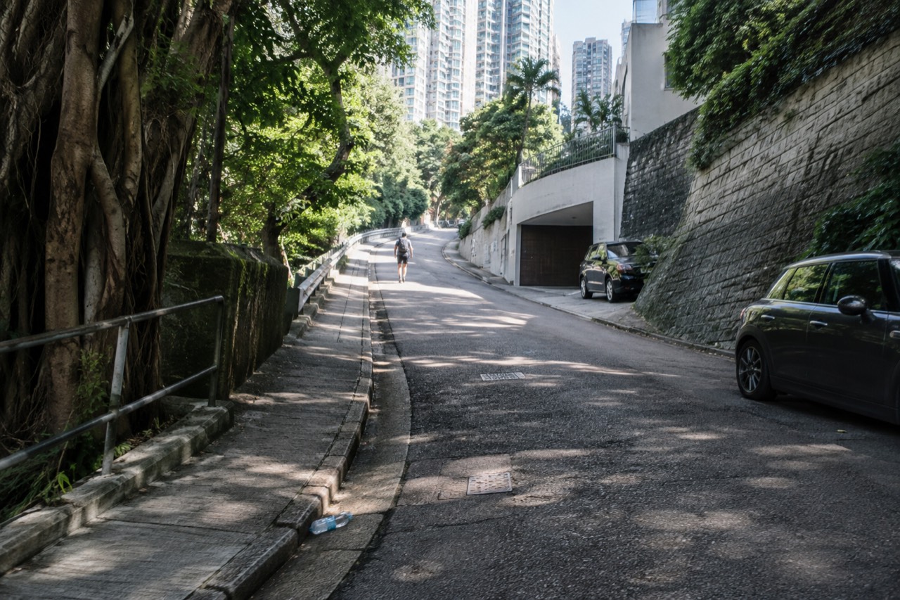
The climb from Central is a single, continuous uphill walk along Old Peak Road, rising from roughly 33 metres above sea level near the tram terminus to Victoria Gap at 396 metres. No official source publishes a gradient, distance, or duration, so figures like "45 minutes" or "2 km" are pure guesswork. What is verifiable is simply this: one long, unbroken ascent on a paved road.
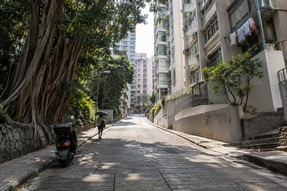
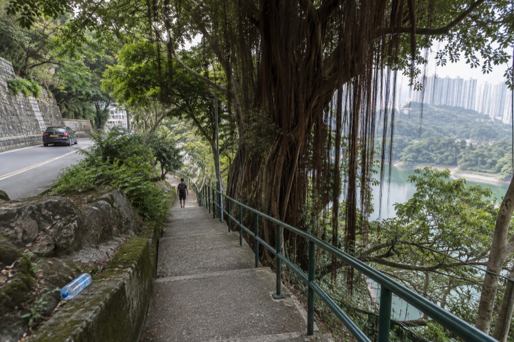
Old Peak Road exists in official mapping records and runs between the top of the hill and Mid-Levels, and that is the honest limit of what any held source says about it. There is no published surface description, no gradient figure, no shade rating and no difficulty grade from any authority. What walkers consistently report, and what the geography makes obvious, is that it is a road climb: continuous, paved, and steep enough that the descent is hard on the knees in the other direction.
The number that frames the effort is the terminus elevation pair published by the Peak Tram's own operator: the Central Terminus stands 33 metres above sea level and the Peak Terminus stands 396 metres. That is the same rise the funicular covers with two haulage ropes of 50.5 mm diameter holding a 55-tonne tramcar. Your legs do the work the ropes do, on a road rather than a track of 1,278 metres at gradients from 4 degrees to 25.7 degrees, and the road does not follow the tram's alignment, so the two figures describe the same vertical gain, not the same path.
Two practical cautions come from published sources rather than forum impressions. First, Hong Kong's summer is genuinely heavy: the Observatory's 30-year normals put June at 491.5 mm of rain across 19.33 wet days, and July and August at 385.8 mm and 453.2 mm respectively. A road climb in that weather is a different animal from the same climb in December, when rainfall averages just 28.8 mm for the month. Second, when a tropical cyclone warning signal no. 8 or above is hoisted, the Peak Tram and Sky Terrace 428 close, and hillside walking in those conditions is off the table entirely; the operator's own FAQ states the closure rule plainly at the operator's FAQ page.
If the climb sounds like more than you want, the standard alternative is the tram, and the cheapest way to buy it is worth understanding before you commit. The headline from-price of $10.59 on the live listing buys a one-way adult Peak Tram ride, tram only, with no Sky Terrace 428 admission and no ride back down. The operator's own published gate fare for that same ticket is HK$82, and the return is HK$116.
The easy option: the Peak Circle Walk
The Hong Kong Tourism Board grades the Peak Circle Walk as easy, publishes its length as 3.5 km, and states in its own words that it "can be completed in an hour". It runs along Lugard Road, built between 1913 and 1914 and named for Sir Frederick Lugard, the 14th governor of Hong Kong, and it is the walk most visitors picture when they imagine hiking the Peak. For a normal walker it is not difficult at all.
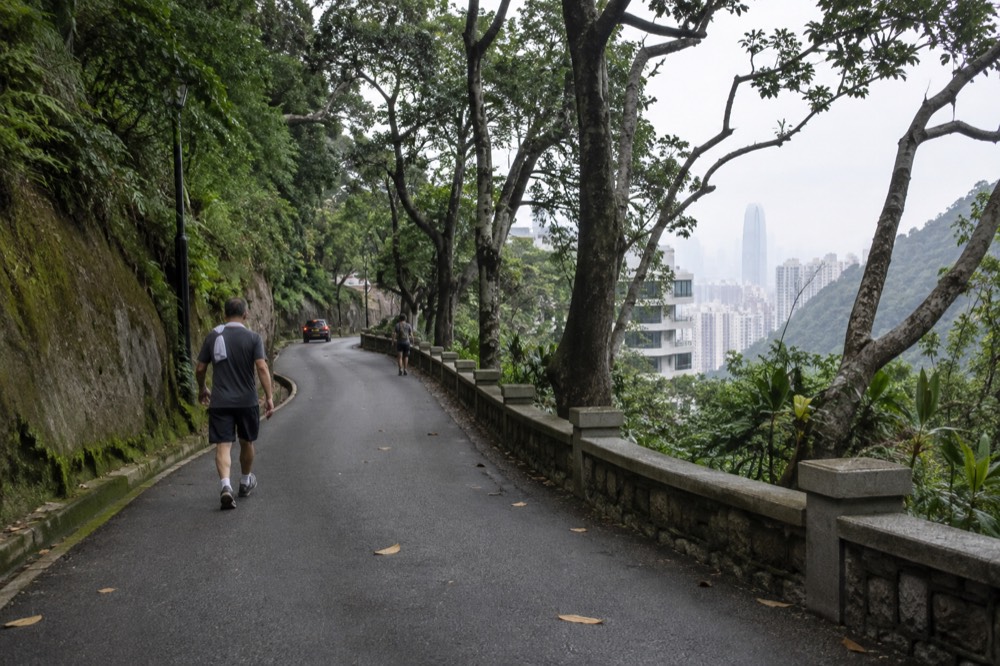
This is the answer that surprises people who expected a mountain trek. The circle at the top is a road walk on the flat contour of the hill, not a climb, and the tourism board's own stop list for the route runs: The Peak Tram, The Peak Tower, Peak Galleria, The Peak Lookout, Peak Circle Walk, Lugard Road and Victoria Peak Garden. You are never more than a short walk from buildings, and the operator's own walking route for the Hong Kong Trail loop, out along Lugard Road and back by Harlech Road, is timed at 40 to 60 minutes in the operator's published walk list.
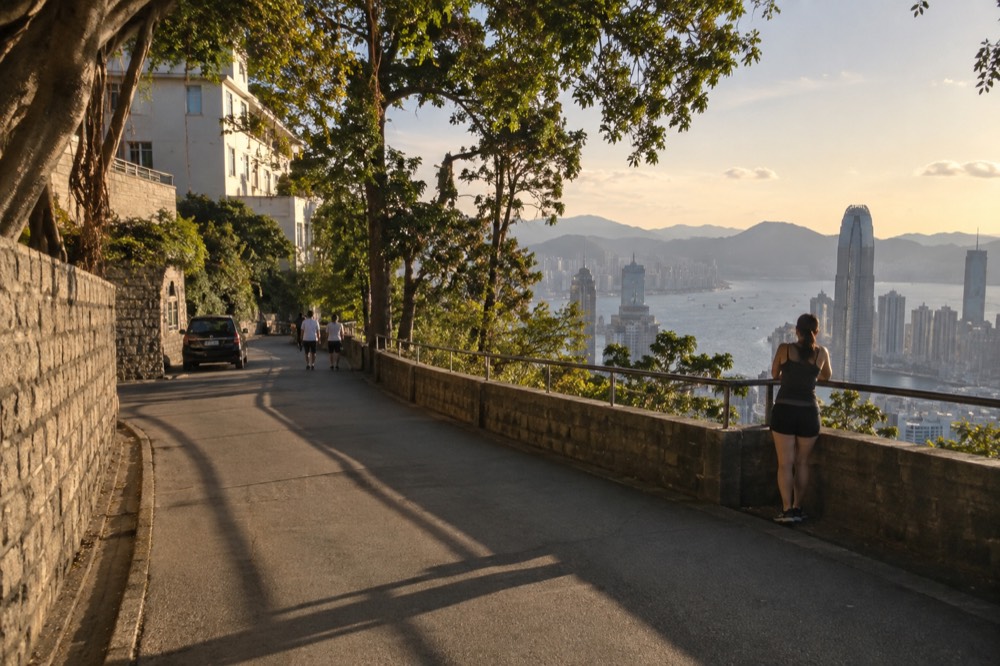
The road itself has real history worth noticing while you catch your breath. The tourism board records that early examples of the city's development remain on Lugard Road, including the white Grade II historic building at 1 Lugard Road and the Grade I historic residence at 27 Lugard Road, two graded buildings with street numbers you can actually look for. The board also calls Lugard Road "a great spot to enjoy sunset and night views of Victoria Harbour", which is the free-viewpoint point this site keeps making: the panorama from the top of the hill does not require a ticket, and a government tourism body says so in print.
Here is every walk at the Peak with a published duration, all from the operator's own walk list except where noted, and none of them extended, rounded or combined:
| Walk | Published duration | Source |
|---|---|---|
| Mount Austin Road, beside The Peak Tower to Mount Austin Playground | 5 to 10 minutes | The Peak operator's walk list |
| Hong Kong Trail loop, Lugard Road out and Harlech Road back | 40 to 60 minutes | The Peak operator's walk list |
| Victoria Peak Garden, uphill along Mount Austin Road | 30 to 40 minutes | The Peak operator's walk list |
| Pok Fu Lam Country Park, down past the Peak Lookout to Pok Fu Lam Road | 35 to 45 minutes | The Peak operator's walk list |
| Peak Circle Walk, 3.5 km loop | "can be completed in an hour" | Hong Kong Tourism Board |
One caution that no competitor prints: none of these durations comes with an accessibility claim. The only verified accessibility fact anywhere on this subject is the step-free access added to the Peak Tram itself in the 2022 rebuild. No official source states that the Peak Circle Walk, Lugard Road or Harlech Road is wheelchair or stroller accessible, so this page does not claim it either. If accessibility matters to your group, the tram is the one part of the trip with a published step-free fact attached.
Victoria Peak Garden: the uphill walk to the highest public ground
Victoria Peak Garden is a free public park uphill from The Peak Tower along Mount Austin Road, published by the operator at 554 metres above sea level, which makes it the highest ground at the Peak a visitor can freely stand on. The operator times the walk at 30 to 40 minutes, and the Leisure and Cultural Services Department, which manages the garden, puts it approximately 1.2 km from the tower.
This is the walk with a genuine reward at the end, and the number that makes it worth the effort is the comparison almost nobody publishes: the free park sits at 554 metres while the ticketed Sky Terrace 428 deck sits at 428 metres on the roof of The Peak Tower. Two operator-published numbers, one free and one paid, and the free one is higher. The operator publishes both, each for its own subject, and this site does not try to reconcile them, it simply puts them side by side where a reader can use them.
The garden itself is more than a viewpoint. The tourism board describes it as "a hidden gem above Victoria Peak, offering stunning views, charming Victorian landscaping and a serene retreat for nature lovers", and both the board and the operator record a kiosk there selling snacks and drinks, plus a car park at the top. The route is simple: Mount Austin Road starts beside The Peak Tower, leads to Mount Austin Playground, and continues uphill to the garden. There is even a dog garden at Victoria Peak Garden, opposite No. 40 Mount Austin Road, managed by the Leisure and Cultural Services Department.
The summit itself is worth understanding while you are up there. Victoria Peak is 552 metres above sea level and is the highest point on Hong Kong Island, but the true summit is closed to visitors and occupied by a radio installation, so the garden at 554 metres is as high as the public gets. And one correction that matters if you have read otherwise: Victoria Peak is not the highest peak in Hong Kong. Tai Mo Shan is, and the Hong Kong Tourism Board itself says so. The Peak is the island's high point, not the territory's.
If you would rather have the deck and the ride than the climb, the combined ticket is the option most visitors actually want, and it is worth knowing what the operator charges at the gate: the Special Combo of tram plus one Sky Terrace 428 admission is published at HK$146 with a single tram ride and HK$182 with a return. The operator states you cannot assemble that saving by buying the parts separately, and the full ladder is on the operator's own price page.
Where people turn back, and how to know the hike is not for you
Turn back when the weather, not the terrain, defeats you: nothing on the Peak Circle Walk or the Mount Austin Road climb is technical, but the Observatory's 30-year normals show March as the year's murkiest month, with 27 per cent of possible bright sunshine, 77 per cent cloud and 1.47 mean fog days, while June is the wettest at 491.5 mm of rain.
The fog point deserves its own sentence because rain-based advice gets it wrong. February is dry at 38.9 mm for the month, so plenty of seasonal guides call it a good time to visit, but it carries 1.10 mean fog days and 72 per cent cloud, and the whole year averages just 3.70 days with visibility under 1,000 metres, of which February and March hold 2.57 between them. You can do the entire climb in February, arrive at the top, and see nothing. The Observatory publishes all of these figures as Hong Kong-wide 1991-2020 normals, not measurements taken on Victoria Peak, and this page says so rather than pretending otherwise.
The webcam tip is the operator's own, from its FAQ, and it is the single most useful pre-walk check that exists: a live look at the visibility from the top before you commit your legs to the climb. The normals live at the Hong Kong Observatory, and the monthly fog and sunshine tables there are what the month-by-month advice above rests on.
Beyond weather, the honest disqualifiers are few. If a continuous paved ascent in humidity is beyond your fitness on the day, ride up and walk the flat circle instead, and lose nothing but the climb. If you are carrying luggage, note that there is no luggage storage at the Peak Tram stations or in The Peak Tower, which the operator states in its FAQ, so a hike scheduled between a hotel checkout and a flight needs a plan for the bags. And if you were hoping to walk to the actual summit, nobody can: it is closed, and the garden is the highest public ground.
If the hike wins: getting down, or riding instead
Walking down is a real option with a published route: the operator's walk list times the Pok Fu Lam Country Park descent at 35 to 45 minutes, heading south past the Peak Lookout, down to the Hong Kong Trail sign, past Pok Fu Lam Reservoir to Pok Fu Lam Road, which removes the need for a return fare. If you would rather ride down, the operator's published gate fare for a tram single is HK$82.
The road fares are worth knowing whatever direction you walk, because they are published government figures, not estimates. Citybus route 15 runs from Central, boarding at the Central Ferry Piers or Exchange Square, up to The Peak, at a full adult fare of HK$13.00 for the whole route. Citybus route X15 runs from Central Ferry Pier No. 6 to The Peak at HK$16.80. Green minibus route 1 runs between the Peak Public Transport Terminus and the Central, Hong Kong Station Public Transport Interchange at HK$11.80, which is the cheapest published fare of any way up the hill. A walker who rides the bus up and walks down, or the reverse, has a genuinely cheap day.
For the tram itself, one payment detail from the operator's FAQ catches out visitors who relied on forum advice: an Octopus card cannot be used for direct entry at the admission gate. It can be used to buy a ticket at the counter, and to pay on board at the intermediate stations, but the "just tap your Octopus" tip is wrong at the gate. If you are walking one way and riding the other, buy the single you need rather than assuming a tap will cover it, and the one-way tram option is the one to check for that plan.
One more planning note if you are pairing the walk with the paid deck: the hours do not line up at either end of the day. The tram runs from 7:30 am, The Peak Tower is open 7 am to 11 pm, but Sky Terrace 428 opens only at 8:30 am and closes at 10 pm. An early climber arriving before 8:30 am cannot use a deck ticket in full on arrival, and a night walker finishing after 10 pm finds the deck shut while the tower and the roads are still open. The free viewpoints, Lugard Road and the Peak Galleria rooftop deck among them, carry no such published constraint, which is one more reason the walking day and the ticket day do not have to be the same decision.
For the full picture on timing the whole visit, the guide to the best time to visit the Peak breaks the weather and the hours down month by month, and the walking down from the top post covers the descent routes in detail. This site, Victoria Peak Hong Kong, keeps the walking and the ticketing separate on purpose, because the free ground at the top is real and the paid deck is a different product with a different price.
The verdict, and the ticket that replaces the climb
The verdict: the Victoria Peak hike is only difficult if you insist on climbing from Central, and even that is a road slog rather than a mountain route. The Peak Circle Walk is easy by the tourism board's own grade, the Victoria Peak Garden walk is a moderate 30 to 40 minutes uphill, and the tram covers the whole 33-metre-to-396-metre rise in about 6 minutes from $10.59 one-way, tram only.
That from-price deserves its final restatement because it is the most misquoted number on this subject: $10.59 buys a one-way Peak Tram ride for one adult, tram only, with no Sky Terrace 428 admission and no ride back down. The listing behind it, The Peak Tram Ticket in Hong Kong, rates 4.6 across 41,347 reviews on the live listing, and it is a standard ticket rather than a fast-track product: buying ahead puts you in the pre-purchased ticket holder queue, which removes the ticket-buying line, not the boarding line, and the operator states plainly that its timed tickets "do not provide priority boarding". No page on this site will promise otherwise, and no page should.
The three options below are the ones a walker actually compares: the deck alone for someone who walked up, the one-way tram for someone walking down, and the return combo for someone riding both ways.
Common questions about the Victoria Peak hike
Is Victoria Peak hike difficult?
Only the climb from Central is genuinely difficult, and even that is a continuous paved road ascent rather than a technical trail. The Peak Circle Walk at the top is graded easy by the Hong Kong Tourism Board, 3.5 km, and in the board's own words "can be completed in an hour". The walk to Victoria Peak Garden is 30 to 40 minutes uphill on the operator's timing. No official source publishes a gradient, distance or duration for the climb from Central, so treat any specific figure you read for it as a guess.
Can you walk to the top of Victoria Peak?
Not to the true summit. Victoria Peak is 552 metres above sea level and is the highest point on Hong Kong Island, but the summit is closed to visitors and occupied by a radio installation. The highest ground the public can freely stand on is Victoria Peak Garden, which the operator publishes at 554 metres, a free public park uphill from The Peak Tower along Mount Austin Road.
How long does the Peak Circle Walk take?
The Hong Kong Tourism Board publishes the loop as 3.5 km and states it "can be completed in an hour". The operator's own walking route around the same ground, out along Lugard Road and back by Harlech Road, is timed at 40 to 60 minutes in its published walk list.
Is the hike free, or do you need a ticket?
The walking is free. Lugard Road, Harlech Road, the Peak Circle Walk and Victoria Peak Garden all cost nothing, and the Peak Galleria has a free rooftop viewing deck that the Hong Kong Tourism Board describes in its own words. Tickets only enter the picture if you want the Peak Tram ride, from $10.59 one-way adult tram only, or the Sky Terrace 428 deck on The Peak Tower's roof, published by the operator at HK$80 for an adult on its own.
What is the hardest month to hike up?
On the Observatory's 30-year Hong Kong-wide normals, June is the wettest month at 491.5 mm of rain across 19.33 wet days, and March is the murkiest at 27 per cent of possible bright sunshine with 1.47 mean fog days. Fog and heat, not terrain, are what make the climb unpleasant. October is the clearest month at 55 per cent of possible bright sunshine with no normal fog days.
Can I walk up and take the tram down?
Yes, and many people do. The operator sells a tram single published at HK$82 for an adult at the gate, and the booking listing carries a one-way tram option at the from-price of $10.59. Walking down instead is also possible: the operator's walk list times the Pok Fu Lam Country Park descent at 35 to 45 minutes, ending at Pok Fu Lam Road.